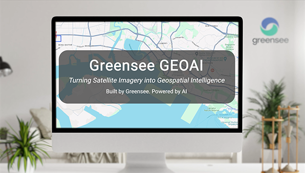
Automated Polygon Boundary Creation for Logistics, Infrastructure and Asset Mapping, Trained on 100,000+ Geofences
Geofencing underpins most modern logistics, asset tracking, and location intelligence workflows. But creating geofences hasn’t changed in decades. An analyst opens GIS software, loads satellite imagery, and traces polygon boundaries by hand. Warehouses, storage tanks, terminal berths. One by one. A single port terminal can take hours. A national asset inventory can take months.
GEOCE’s GeoAI platform replaces that process with AI-driven image segmentation, fine-tuned on our proprietary dataset of over 100,000 geofences spanning maritime terminals, freight rail infrastructure, and logistics sites worldwide.
Navigate to any location, prompt the AI, and get exportable geofence polygons in minutes. No GIS software. No specialist remote sensing skills. All in the browser at geoai.greensee.ai.
Five Ways to Detect and Segment Features
Text: Type “warehouse” or “tanks” and the model outlines every matching feature in the satellite view. Point: Left-click for positive examples, right-click for negatives, for precise single-object extraction. Hover: The AI segments features in real time as you move your cursor across the imagery. Bounding box: Draw a rectangle and the AI segments exactly what’s inside. BBox similarities: The standout mode. Box one storage tank and the model finds every visually similar feature in the viewport. You don’t need to name what you’re looking for. Just show one example and get all 34.
From Detection to Exportable Geofence Data
After detection, filter results by confidence score, select or ignore individual boundaries, and save to a structured database with calculated area, feature type, and creation date. Then bulk-export as polygon files ready for integration into any GIS platform, logistics system, or geospatial analytics pipeline.
The output isn’t shapes on a screen. It’s a classified, measured, export-ready geofence dataset.
Trained on Real Logistics Infrastructure
The model builds on Meta’s Segment Anything architecture (SAM 3), fine-tuned on Greensee’s proprietary geofence database covering 1,000+ maritime terminals with 100,000+ individual geofences at berth, quay, storage, and loading zone granularity. Built in compliance with ESA and BIC geofencing standards, this training foundation is what separates GeoAI from general-purpose segmentation tools. It’s been optimised for the kinds of features that operational teams actually need to map: port infrastructure, industrial facilities, transport corridors, and built environment assets.
Custom Geofence Products for Your Needs
We built our own terminal geofence database using this technology. Now your organisation can do the same. Whether you need to digitise asset boundaries across thousands of sites, add a polygon extraction layer to an existing analytics platform, or replace crude radius-based geofencing with boundaries that match actual facility footprints, GeoAI compresses what used to be weeks of manual GIS work into a repeatable, scalable workflow.
Use the self-service platform or send us bulk location lists, and we’ll deliver complete polygon datasets.
Next Steps
Try GeoAI now: geoai.greensee.ai
For bulk geofencing projects or API integration, contact the Greensee team.